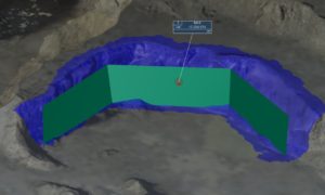
MEASUREMENT OF EXCAVATIONS AND QUARRYING
This time we will talk about the importance of knowing and quantifying the terrestrial morphology and its dimensions. There are situations or scenarios where the
We love what we do, and that’s why we’re going to share some knowledge with all of you to ignite your curiosity about SURVEYING and LAND SURVEYORS, we will be sharing our own ideas and some interesting works we have done in the recent past. We hope you enjoy it. Comment below and feel free to ask anything!

This time we will talk about the importance of knowing and quantifying the terrestrial morphology and its dimensions. There are situations or scenarios where the
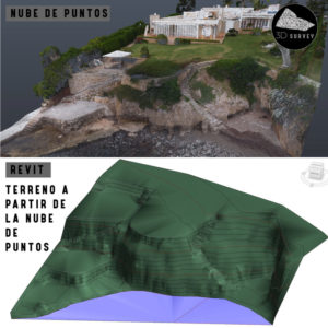
Today we want to talk to you about the Topographic Lands in Revit, more and more requested by the architecture offices, what they are looking
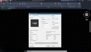
AUTOCAD – Importing a 3D point cloud Many people ask, how can I import a point cloud into AutoCAD or Revit?From our blog we want
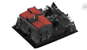
We want to bring you closer to the BIM world, more specifically to the so-called Scan to Bim, and for this we want to talk
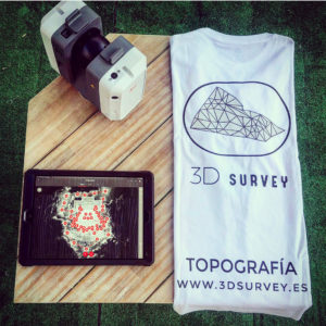
From 3D Survey we want to talk about the scanner RTC 360 by Leica, a terrestrial scanner that has become the best tool today for
Here we show you a 3D flight plan with zenithal and oblique images to improve the 3D of the photogrammetry, subsequent post-processing and the results

From 3D Survey we want to make a small review of how Topography has evolved in recent years, we have gone from the classic Topography